Sailing Route Maps Made Simple

A passage plan lives in waypoints and charts; the story of the trip deserves better. Turn your sailing route into an animated 3D map video.

No monthly subscriptionNo hidden feesTry for free
01

Import the Recorded Track

Most chartplotters, sailing apps, and GPS watches export GPX. Upload the file and the exact track appears — every tack and every detour included.

KML from Google Earth works too, and the free GPX viewer shows what's in the file first.

02

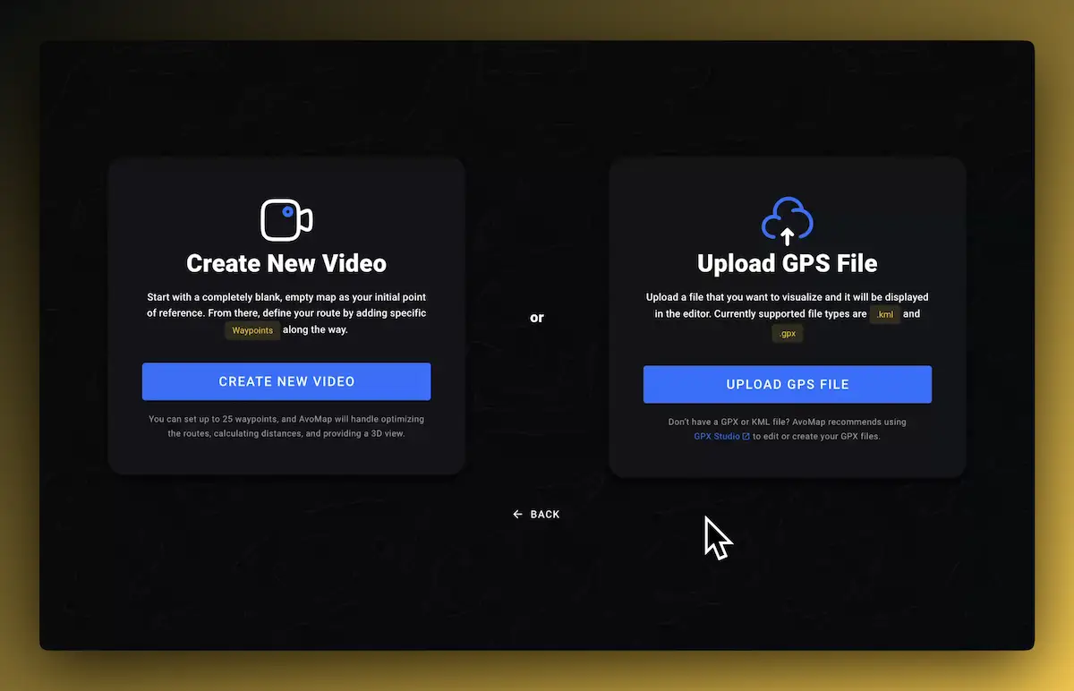
Or Draw the Legs

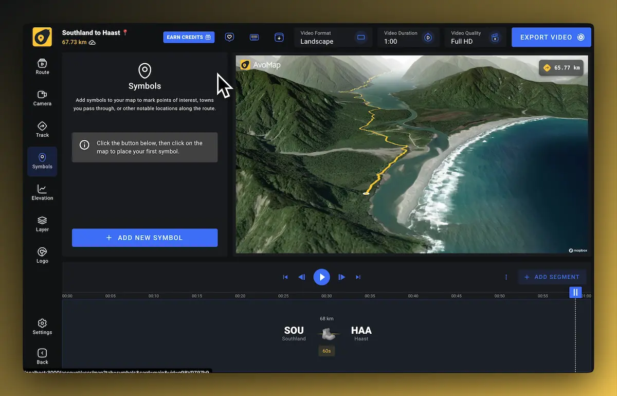
Planning a trip or recreating one without a track? Set the route point to point across the water, harbor to harbor, and mark anchorages and stops with markers along the way.

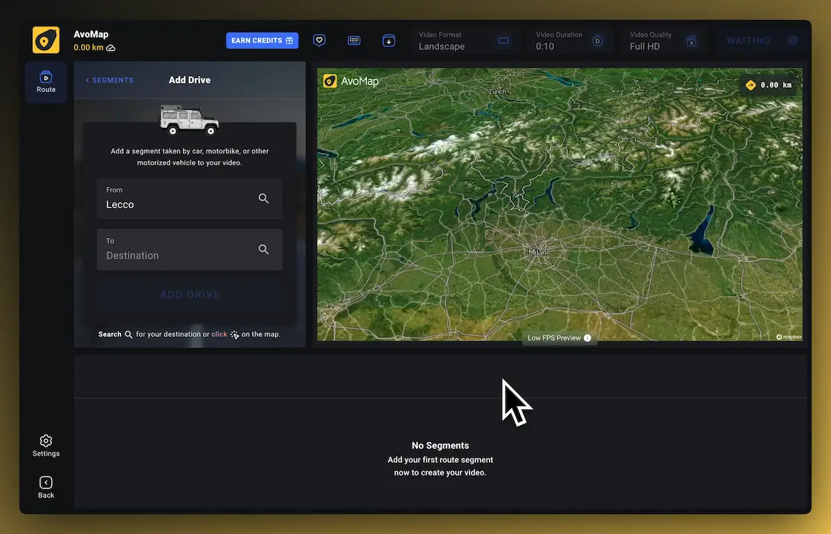
  1. Select the type of activity.
  2. Define Origin & Destination of each leg.
  3. Click Play and get an instant preview of your video.
03

Coastlines Look Good From Up Here

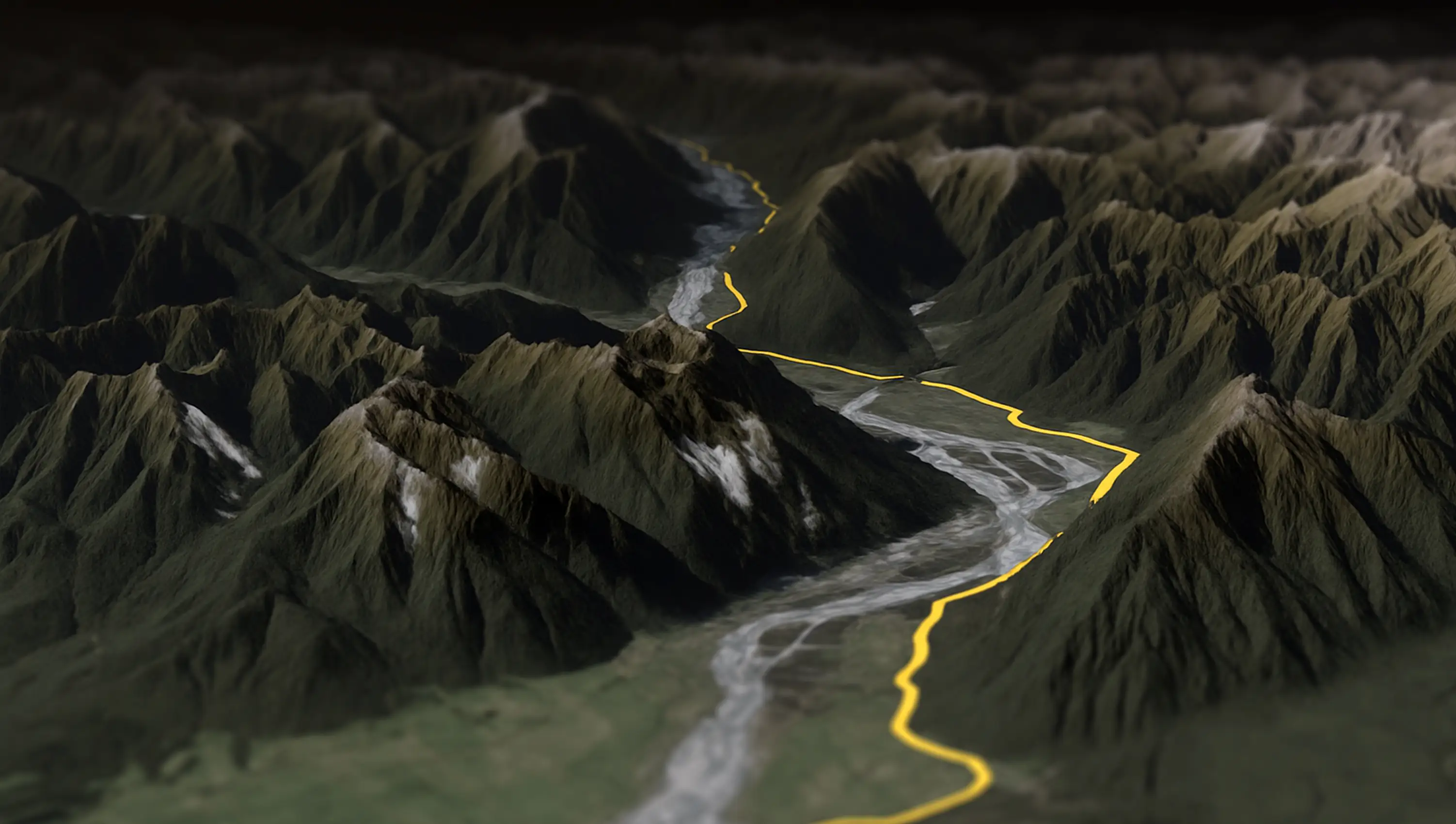
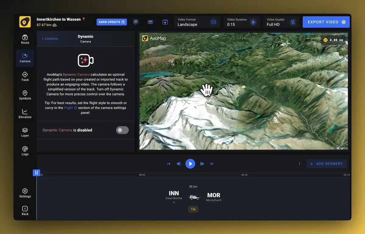
Satellite imagery and 3D terrain aren't just for mountains. A route threading between islands or hugging a coast reads beautifully from the air.

The camera work is yours: follow the boat with the Dynamic Camera, hold a wide shot, or fly ahead to the next harbor. See how the animated map maker works.

Testimonials

Join Thousands Of Happy Users

See what some of them have to say about AvoMap

“With AvoMap, we’ve added stunning 3D previews of our race courses — not just helpful for runners prepping before race day, but also a game-changer for our live briefings on-site. If you're a race organizer looking to give participants a clearer, more immersive course overview, we highly recommend it.

David LloydRace Director at Vietnam Trail Series

“I run a YouTube channel focused on trail running. For our Live Race Briefings, AvoMap helps me present race maps exactly how I want. It’s the perfect tool to bring my ideas to life as a content creator.”

Nick ThomaidisContent Creator & Trail Runner

“Avomap is a fantastic tool with an incredible range of options for preparing a route in a unique and exciting way. This makes cross-country runs truly enjoyable!”

Stefan SchwenkeHead of Media at Alpen Challenge Lenzerheide

“I discovered AvoMap by chance when searching for a way to create a professional route map for a local 10K and Half Marathon event. Not only was I able to display the route in a polished video, but I was also able to add notable markers, and display the elevation on screen. My client is delighted, and I'll definitely use the service again in the future.

Lauren PenmanCopywriting & Creative Social Media Marketing

“I have searched through a number of tools on the Internet to be able to visualize the routes of my road trips and vacations. None of the tools are as good as AvoMap, and it is improved almost weekly. You can really see the attention to detail in every feature.”

Jan SchöpkeTravel Enthusiast & Power User

An extremely user-friendly and intuitive tool, and of highest quality mapping and imaging I've seen! I use it regularly to visualise my hikes and treks in many videos I produce for my YouTube channel. It is a tool that meets all of my YouTube channel's needs.”

Kamil TrzebiatowskiVideo content creator at Wandering Cloud

“Work has taken me all over the world and ignited my interest in documenting my travels. AvoMap provides me a beautiful way to see my journey and remind me of the many beautiful places I have seen.

Steven WhiteTravel Documentarian & Visual Storyteller

AvoMap was incredibly easy to use — the learning curve was almost non-existent. Within minutes, I understood how everything worked, and just a bit later, I had a beautiful map video ready to go.”

JJaskiVisual Storyteller & Travel Enthusiast

“AvoMap is the perfect tool for promoting our trail races in Tây Giang, in the highlands of Vietnam. The videos bring our routes to life and help attract more runners to the region. Super easy to use and effective!

Võ Đức LongRace Director at K'Lang Jungle Summit

“I’ve always enjoyed using tools like Felt.com to plan and mark up my trips — but I wanted something more immersive. AvoMap delivers exactly that, with stunning 3D maps and smooth animations that bring my journeys to life.”

Vrushank VyasVisual Storyteller & Travel Enthusiast

“AvoMap has been a game-changer for my YouTube channel! It's easy to use, delivers high-quality videos fast, and offers great customization. Whether uploading GPS files or creating routes from scratch, it's the perfect tool for content creators — no tech skills needed.”

ChiaraVideo content creator at
Moving Potatoes

“I’ve been using AvoMap since 2024 to document my bikepacking journeys and create YouTube videos. The editing tools are the best I’ve found for customizing the fly-throughs I want to share, and the 4K render quality is beautiful. Plus, the AvoMap team is incredibly responsive to support questions and open to new ideas.”

Crispin HoultVisual Storyteller & Travel Enthusiast
04

Mark Harbors and Anchorages

Over 100 marker presets are included, and you can upload your own symbols. Each marker takes a label and a description, so viewers know where you moored and why.

Waypoints in your GPX or KML file are picked up automatically.

05

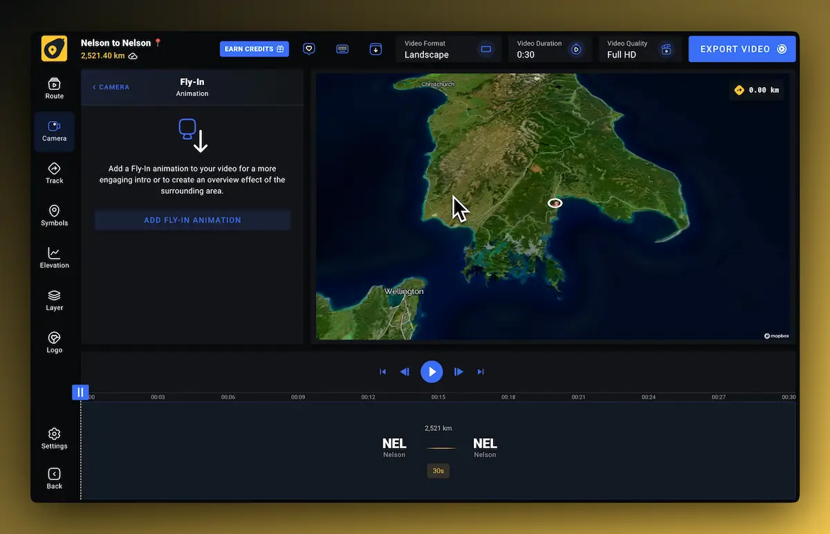
Set the Scene with a Fly-In

Open with an overview of the whole passage so your audience understands where things are and how far apart they lie, then dive in to the first leg.

Angle, height, duration, and direction of the fly-in are yours to set.

We have added full 3D course previews with AvoMap, which are useful not only for runners before our races but also for our live race briefings at the event. We recommend AvoMap to fellow race organizers who want to provide better course information to their participants.
David LloydRace Director at Vietnam Trail Series

Import your GPS data from top brands

AvoMap works seamlessly with all your favorite platforms. Just export your adventures and bring them to life with stunning animations in seconds.

alltrails logoapplefitness logofitbit logogarmin logokomoot logorunkeeper logorunna logostrava logowikiloc logo

Sailing Route FAQ

Is AvoMap a sailing route planner?

Not in the navigation sense — it doesn't do tides, weather routing, or charts, and it's no substitute for a passage plan. It's the visual layer: the tool you use to show the route, animated over real geography, before or after the trip.

Which file formats can I import?

GPX and KML. Chartplotters (Garmin, Raymarine, B&G), sailing apps, and GPS watches typically export GPX; KMZ files convert in the free KMZ to GPX tool on this site.

Can I mark harbors and anchorages?

Yes — over 100 marker presets are included, and you can upload your own symbols. Each marker takes a label and description.

What does it cost?

The editor is free without limits, including the full animated preview. Exporting the finished video costs one render credit, starting at $9 for 5 videos.

Videos Made With AvoMap

Explore the full range of AvoMap features in action with these videos, all created using the easy-to-use editor.

See all videos
Motorcycling · Mountain Pass · Switzerland · Italy

Splügen Pass to Italy 🇮🇹

The Splügen Pass connects Switzerland and Italy, linking Splügen with Chiavenna. At 2,113 meters (6,929 feet), it provides a direct route through the Alps, offering impressive views of the surrounding mountains and valleys.

Desert · Ocean view · Nature · Extreme

Ride Through The Desert — Chile

Taking a motorcycle trip through the Chilean desert, starting from Combarbala and heading to La Serena on the coast.

Trail Run · Ultra · Mountains · Nature

UTMB Eiger Ultra 2024

With a distance of 101 km and an elevation gain of 6,700 meters, the Eiger Ultra 101 is a tough challenge for even the most seasoned trail runners. The route includes stunning viewpoints such as Grosse Scheidegg, First, Bachalpsee, Berghotel Faulhorn, Schynige Platte, Wengen, Männlichen, and the base of the legendary Eiger North Face.

Beach · Vineyards · Forest · Ocean view

Otter Trail — South Africa

The Otter Trail is a five-day hiking route in South Africa, starting at Storms River Mouth Rest Camp and finishing at the small resort village of Natures Valley in the de Vasselot section of the park.

Trail Run · Mountains · Forest · Nature

Kepler Track — New Zealand

The Kepler Track is one of New Zealand's Great Walks, renowned for its stunning natural beauty and varied landscapes. It's a 60-kilometer (37-mile) circular hiking trail located in Fiordland National Park on the South Island of New Zealand. The track typically takes around 3 to 4 days to complete and passes through diverse terrain, including beech forests, alpine meadows, and alongside pristine lakes and rivers.

Lakeside · Nature · Trail Run · Extreme

170 Miles Around Lake Tahoe

The Tahoe Rim Trail is a 170-mile long hiking path encircling the Lake Tahoe Basin in the Sierra Nevada, traversing parts of Nevada and California in the United States. It spans elevations from 6,223 feet at Lake Tahoe's outlet to 10,338 feet at Nevada's Relay Peak.

Ocean view · Nature · Trail Run · Extreme

The Grand Raid — La Reunion

The Grand Raid de la Réunion, known as La diagonale des fous, is an ultramarathon held annually in October on Réunion island, a French overseas department located in the Indian Ocean between Madagascar and Mauritius.

Extreme · Overlanding · Globe View · Multi Countries

Frankfurt To Dubai In 30 Seconds

As a break from my usual routine, I decided to embark on an epic journey by motorbike from Frankfurt to Dubai. It took me 62 days to complete the trip, and along the way I crossed through 11 different countries including France, Switzerland, Italy, Greece, Albania, North Macedonia, Bulgaria, Turkey, Georgia, Armenia and Iran.

Extreme · Mountain range · Trail · Forest

Zugspitze Ultra — Germany

The Zugspitz Ultratrail stands as Germany's premier trail running event. Drawing over 4400 participants, it features six distinct routes spanning from 16 to 106 kilometers in length.

Marathon · Flat Terrain · City · Checkpoints

San Francisco Marathon

The San Francisco Marathon is a renowned race featuring a full marathon, half marathon, and 5K. Held in late July, it navigates iconic landmarks like the Golden Gate Bridge and Fisherman's Wharf. The hilly terrain presents a challenge, but the stunning views and community support make it memorable.

Create your video
No monthly subscriptionNo hidden feesTry for free