
Compare Β· Strava Flyover vs AvoMap
A Strava Flyover you can actually download
Strava's Flyover is a lovely replay of your activity β inside the Strava mobile app, for subscribers. You can't save it as a video file on your computer. AvoMap renders the same activity as an MP4 you own, from the GPX, no subscription attached.
Side by side
Flyover vs AvoMap
| Β | AvoMap | Strava Flyover |
|---|---|---|
| Where it runs | Browser, on your computer | Strava mobile app |
| Requires Strava subscription | No β just the GPX | Yes |
| Download as video file | MP4, 1080p or 4K, 60 fps | No file download; share from the app |
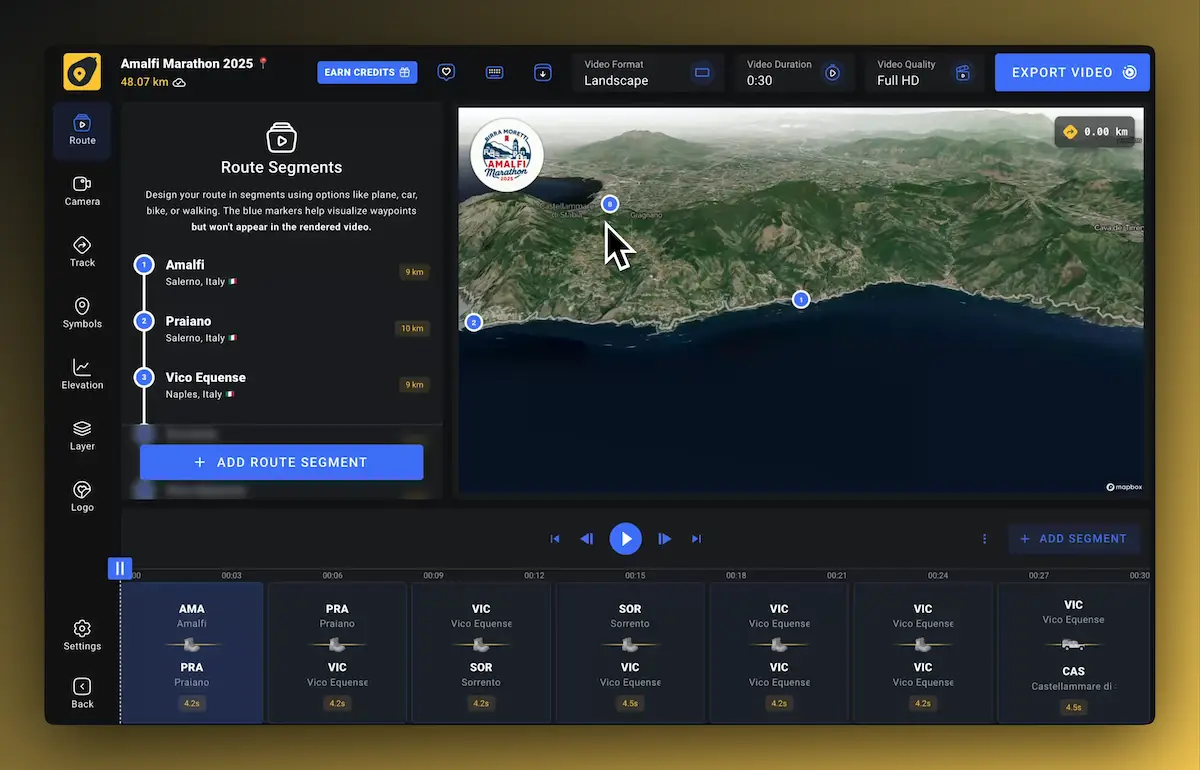
| Customization | Map style, colors, markers, camera, logo, duration | Fixed look |
| Works with other data | Any GPX/KML: Garmin, Komoot, AllTrails, watches | Strava activities only |
| Price | Free editor; from $9 for 3 video exports | Included in Strava subscription |
To be fair: Flyover is instant and lives where your activities already are. If you just want to watch a replay on your phone, use it. This page exists for the moment you want the video as a file β for an edit, a channel, or a race recap.
How it works
From activity to MP4
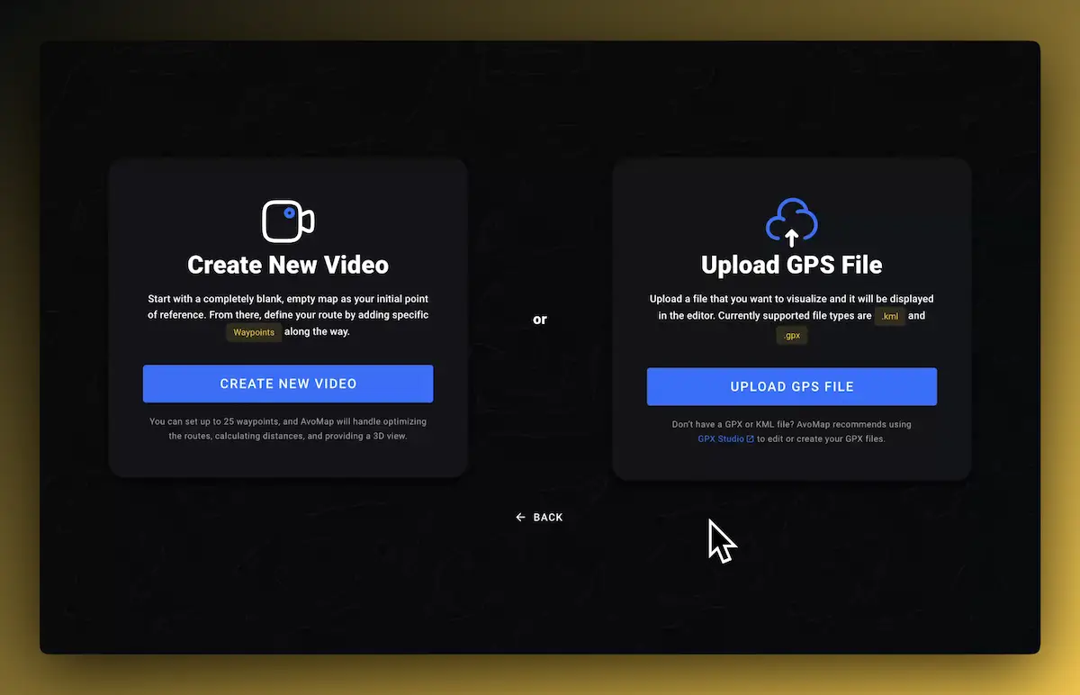
- 1Export the GPX from the activity page on strava.com, or connect Strava and import it directly.
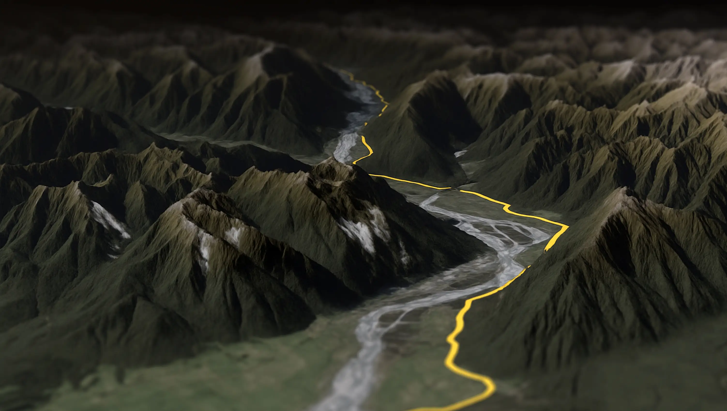
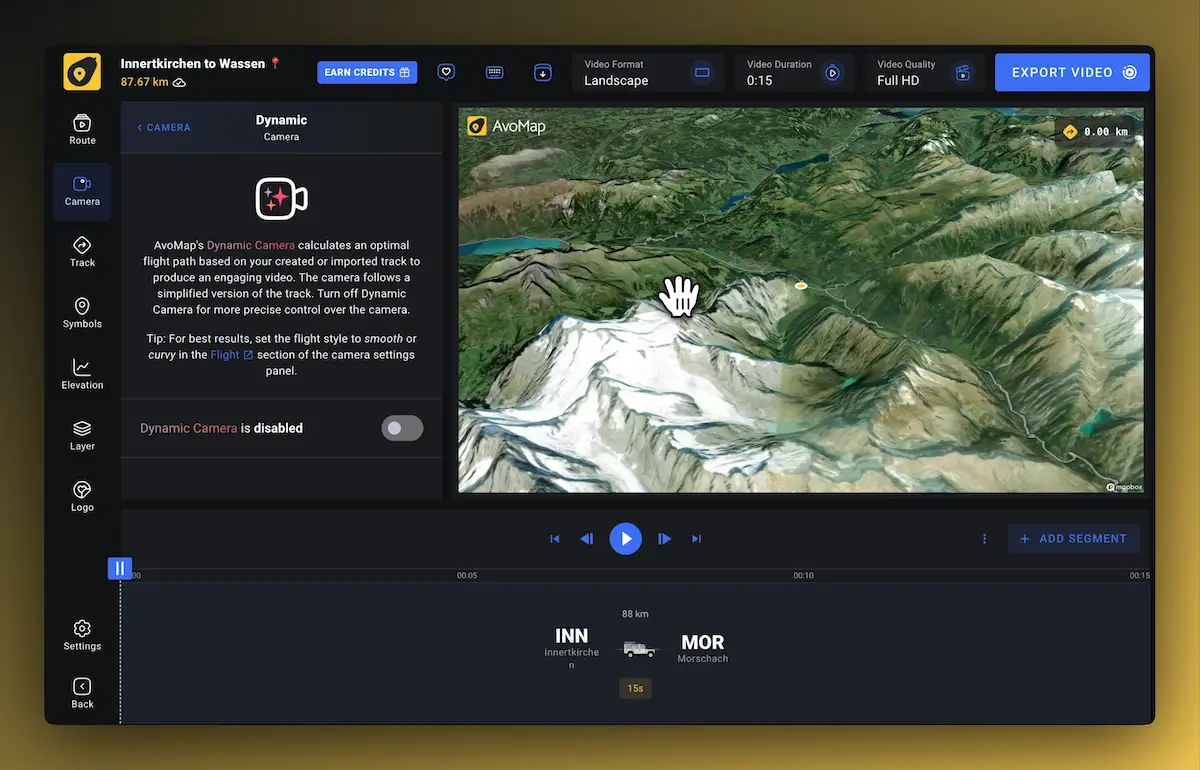
- 2The route appears over 3D terrain. Turn on the dynamic camera and it flies the track for you β that's your flyover.
- 3Export the MP4 in 1080p or 4K and use it anywhere: YouTube, Reels, a race recap edit, or the family group chat.
Questions
Flyover alternative FAQ
Can I download my Strava Flyover as a video?
Strava lets you share Flyovers to social apps from your phone, but there is no video-file download on desktop. The workaround is to render the same activity yourself: export the GPX and create the flyover in AvoMap, which exports a real MP4.
Do I need a Strava subscription for this?
No. GPX export is available on every Strava account, and AvoMap works from the GPX file. The AvoMap editor is free; you pay per exported video.
Will it look like the Strava Flyover?
It's the same idea β a camera flying along your route in 3D β with more control. You choose the map style, route color, markers, and camera behavior, and you can add an elevation profile or your own logo.
Does this work for rides, runs, and hikes alike?
Yes. Anything with a GPS track works: cycling, running, hiking, skiing, even multi-day trips combined into one video.
Your best ride deserves a copy you keep
Free editor, instant preview, MP4 export in up to 4K.