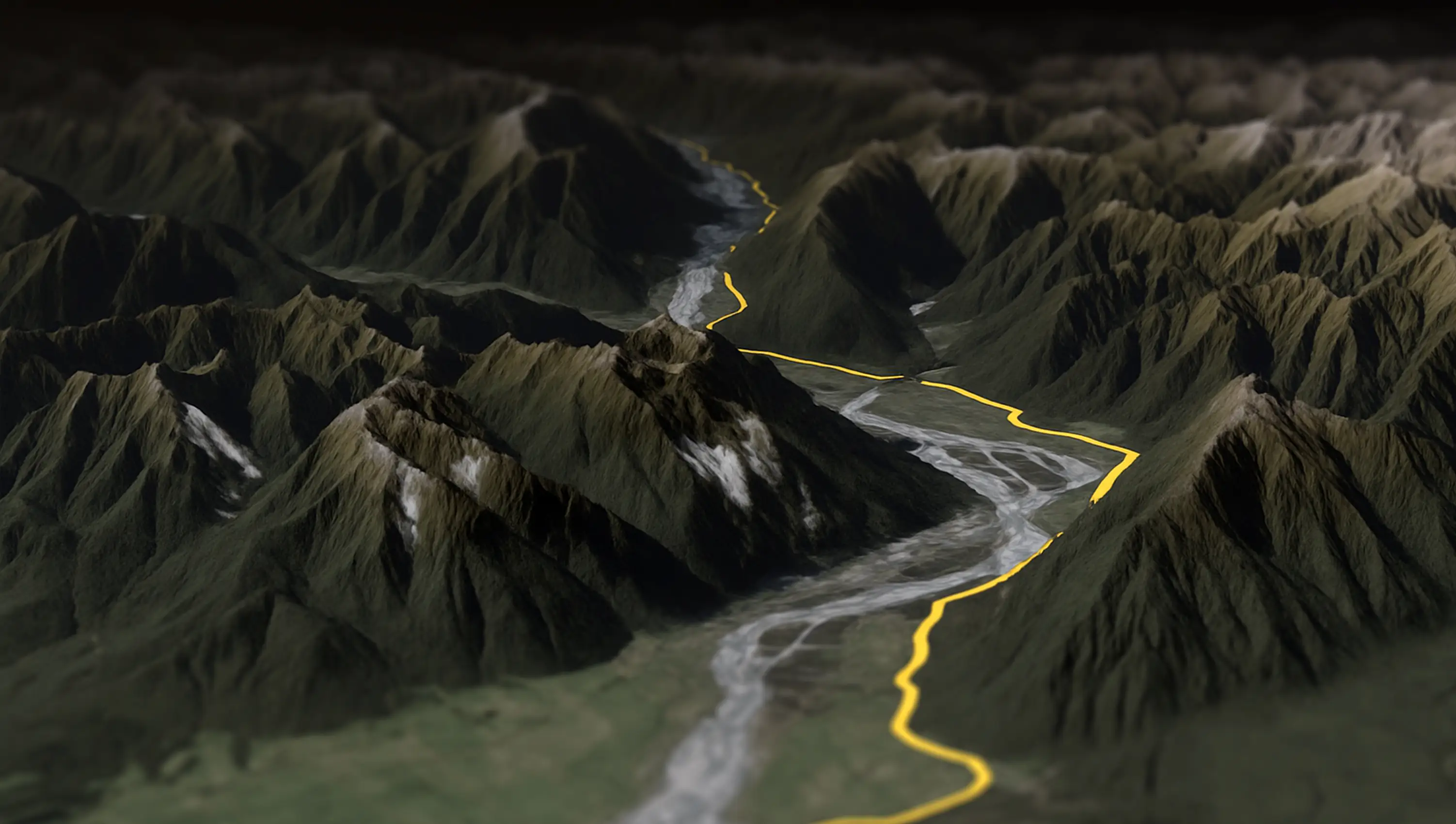
Splügen Pass to Italy 🇮🇹
The Splügen Pass connects Switzerland and Italy, linking Splügen with Chiavenna. At 2,113 meters (6,929 feet), it provides a direct route through the Alps, offering impressive views of the surrounding mountains and valleys.



Komoot rendert dir kostenlos ein WebM in 720p, mit Komoot-Logo. Wenn du ein MP4 in 4K willst, für Instagram oder YouTube, mit deinem eigenen Branding: GPX-Datei aus Komoot laden, in AvoMap öffnen, Video herunterladen. Dauert zehn Minuten.
So geht's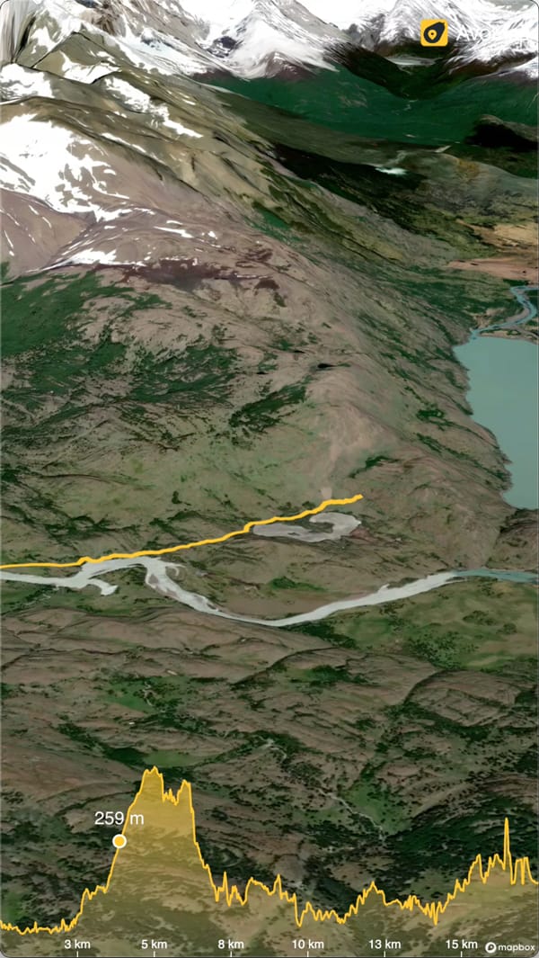

Geht auf der Website und in der App, für geplante und aufgezeichnete Touren. Premium brauchst du dafür nicht.
Bei komoot.com anmelden und unter Profil > Touren die Tour öffnen.
Auf Tour teilen oder exportieren klicken.
GPX-Datei herunterladen wählen und die Datei speichern.
Die Tour öffnen und oben rechts auf die drei Punkte tippen.
GPX-Datei herunterladen antippen. Die Datei landet im Download-Ordner deines Handys.
Für den nächsten Schritt brauchst du die Datei im Browser. Am einfachsten schickst du sie dir selbst oder legst sie in einen Cloud-Ordner.
AvoMap-Editor öffnen . Alle Funktionen sind frei, die Vorschau kostet nichts.
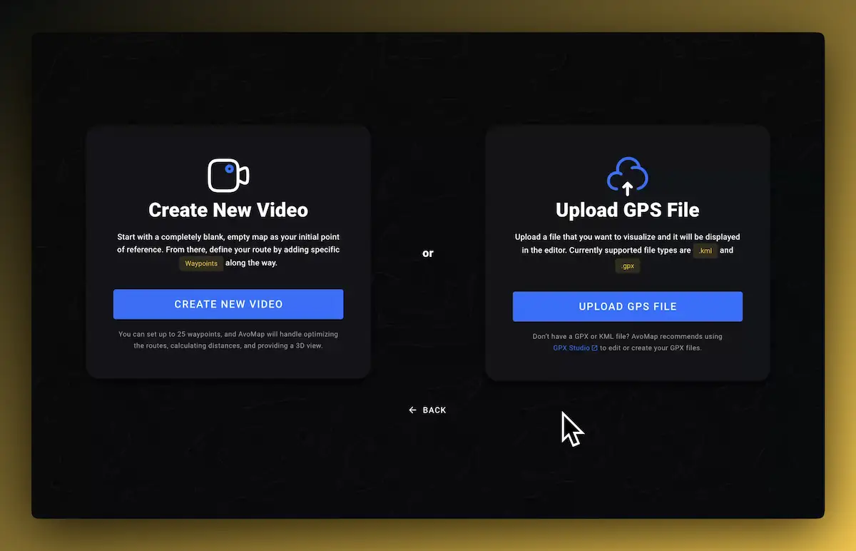
Auf Select Your GPS File klicken und die GPX-Datei aus Komoot auswählen. Die Tour erscheint auf der 3D-Karte.
Kartenstil, Kamera und Tempo einstellen. Play zeigt dir die Vorschau, so oft du willst.
Oben rechts auf Create Video klicken und rendern lassen.
MP4 herunterladen. Fertig für Instagram, YouTube oder die Familiengruppe.
Komoot hat seit Kurzem einen eigenen Video-Generator auf komoot.com/gpx-video-preview. Für einen schnellen Blick reicht der. Der Unterschied liegt in dem, was du am Ende in der Hand hast.
Lade die GPX-Datei der Tour aus Komoot herunter, auf komoot.com über „Tour teilen oder exportieren", in der App über die drei Punkte oben rechts. Öffne den AvoMap-Editor, wähle die GPX-Datei aus, stell Kartenstil, Kamera und Dauer ein und klick auf „Create Video". Das MP4 lädst du danach in 1080p oder 4K herunter.
Ja. Auf komoot.com/gpx-video-preview lädst du eine GPX-Datei hoch oder fügst den Link einer Tour ein und bekommst nach ein bis zwei Minuten ein WebM in 720p mit Komoot-Logo. Für Instagram brauchst du MP4, die Datei müsstest du also erst umwandeln. AvoMap liefert das MP4 direkt, in 1080p oder 4K.
Nein. Der GPX-Export deiner eigenen Touren gehört zur kostenlosen Komoot-Version, in der App und auf der Website, für geplante wie für aufgezeichnete Touren. Der AvoMap-Editor ist ebenfalls kostenlos, bezahlt wird erst der fertige Export.
Mit beiden. Eine geplante Komoot-Tour ergibt eine saubere Linie über die Karte. Eine aufgezeichnete Tour zeigt den Weg, den du wirklich gefahren oder gelaufen bist, mit den Höhenmetern, die dein Handy oder deine Uhr gemessen hat. AvoMap legt beide über 3D-Gelände.
So lang, wie du willst. Die Dauer stellst du in AvoMap pro Abschnitt ein: Eine Tagestour kann in 20 Sekunden durchlaufen oder zwei Minuten dauern, die Kamera passt ihr Tempo an. Das animierte Höhenprofil läuft im selben Tempo mit.
Die Vorschau in AvoMap ist kostenlos, mit allen Kartenstilen und Kameraeinstellungen. Ein fertiges MP4 in 1080p kostet einen Render-Credit, 4K zwei. Credits gibt es ab 9 $ für 5 Videos, ein Abo gibt es nicht. Der GPX-Export aus Komoot ist ebenfalls kostenlos.
Du vergleichst gerade Tools? AvoMap gegen Mult.dev haben wir Funktion für Funktion nebeneinandergelegt.
Explore the full range of AvoMap features in action with these videos, all created using the easy-to-use editor.
The Splügen Pass connects Switzerland and Italy, linking Splügen with Chiavenna. At 2,113 meters (6,929 feet), it provides a direct route through the Alps, offering impressive views of the surrounding mountains and valleys.
Taking a motorcycle trip through the Chilean desert, starting from Combarbala and heading to La Serena on the coast.
With a distance of 101 km and an elevation gain of 6,700 meters, the Eiger Ultra 101 is a tough challenge for even the most seasoned trail runners. The route includes stunning viewpoints such as Grosse Scheidegg, First, Bachalpsee, Berghotel Faulhorn, Schynige Platte, Wengen, Männlichen, and the base of the legendary Eiger North Face.
The Otter Trail is a five-day hiking route in South Africa, starting at Storms River Mouth Rest Camp and finishing at the small resort village of Natures Valley in the de Vasselot section of the park.
The Kepler Track is one of New Zealand's Great Walks, renowned for its stunning natural beauty and varied landscapes. It's a 60-kilometer (37-mile) circular hiking trail located in Fiordland National Park on the South Island of New Zealand. The track typically takes around 3 to 4 days to complete and passes through diverse terrain, including beech forests, alpine meadows, and alongside pristine lakes and rivers.
The Tahoe Rim Trail is a 170-mile long hiking path encircling the Lake Tahoe Basin in the Sierra Nevada, traversing parts of Nevada and California in the United States. It spans elevations from 6,223 feet at Lake Tahoe's outlet to 10,338 feet at Nevada's Relay Peak.
The Grand Raid de la Réunion, known as La diagonale des fous, is an ultramarathon held annually in October on Réunion island, a French overseas department located in the Indian Ocean between Madagascar and Mauritius.
As a break from my usual routine, I decided to embark on an epic journey by motorbike from Frankfurt to Dubai. It took me 62 days to complete the trip, and along the way I crossed through 11 different countries including France, Switzerland, Italy, Greece, Albania, North Macedonia, Bulgaria, Turkey, Georgia, Armenia and Iran.
The Zugspitz Ultratrail stands as Germany's premier trail running event. Drawing over 4400 participants, it features six distinct routes spanning from 16 to 106 kilometers in length.
The San Francisco Marathon is a renowned race featuring a full marathon, half marathon, and 5K. Held in late July, it navigates iconic landmarks like the Golden Gate Bridge and Fisherman's Wharf. The hilly terrain presents a challenge, but the stunning views and community support make it memorable.
Turn a hike, a ride or a long drive into an animated route video.
Upload the track, preview the animation, export an MP4 in up to 4K.
Convert and inspect GPX, KML, KMZ and shapefiles in the browser.
Pay per exported video. The editor is free and there is no subscription.